Strange patterns in South Africa on Google Earth.
Posted by: Tony Lockhart on 11 July 2012
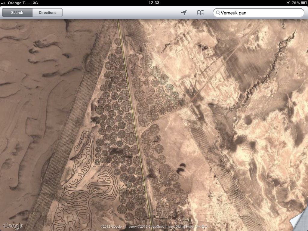
I was looking at Verneuk Pan, the site for next year's Bloodhound SSC land speed record runs, when I came across this strange area. Does anyone have any idea what these patterns are?
Tony
you mean the circles? Those are from circle irrigation. Its a long boom with a pivot in the middle. Very common site as you fly across the US also.
I just looked it up in Wikipedia and there is a photo of'vehicle tracks' that looks like it could be the spirals. Somebody must have had some doing all of that. It all looks a bit 'Chariots of the Gods' like.
D
I saw that too, but i just can't see those tracks being so visible and evenly coloured.
Did you read the bit about Malcolm Campbell's last sets of wheel tracks still being visible? Spooky.
Tony
I threw a few boxes out of the chopper window for the children 35 years ago.

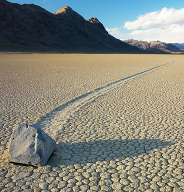
No explanation for you just another mystery. Rocks that move by themselves??
Location death valley. Offered answers- Wind, Frost, rain making surface slippery.
Satellite imagery calibration ? Seem to recall something similar in China and I think that was the purpose.
It is "art". Somebody just making a big doodle. No mystery, really.
No explanation for you just another mystery. Rocks that move by themselves??
Location death valley. Offered answers- Wind, Frost, rain making surface slippery.
For something this side of the pond we have Tinto Hills in south Lanarkshire "...illustrating the best example of stone stripes in Scotland" - admittedly not as visual as the OP.
http://jncc.defra.gov.uk/pdf/g...CRsiteaccount401.pdf
Satellite imagery calibration ? Seem to recall something similar in China and I think that was the purpose.
Doubtful - I've not seen in orbit cal targets shaped like that before. Given the location and usual usage, man made and probably vehicular.
It is "art". Somebody just making a big doodle. No mystery, really.
Most modern art looks like a doodle or less talented anyway.
Don't Google earth obscure some sites of military significance?
I was looking at Verneuk Pan, the site for next year's Bloodhound SSC land speed record runs, when I came across this strange area. Does anyone have any idea what these patterns are?
I know this area quite well although I have never been to the verneukpan.
These patterns are new, I have an aerial photo from 2009 that shows only the triangle shape.
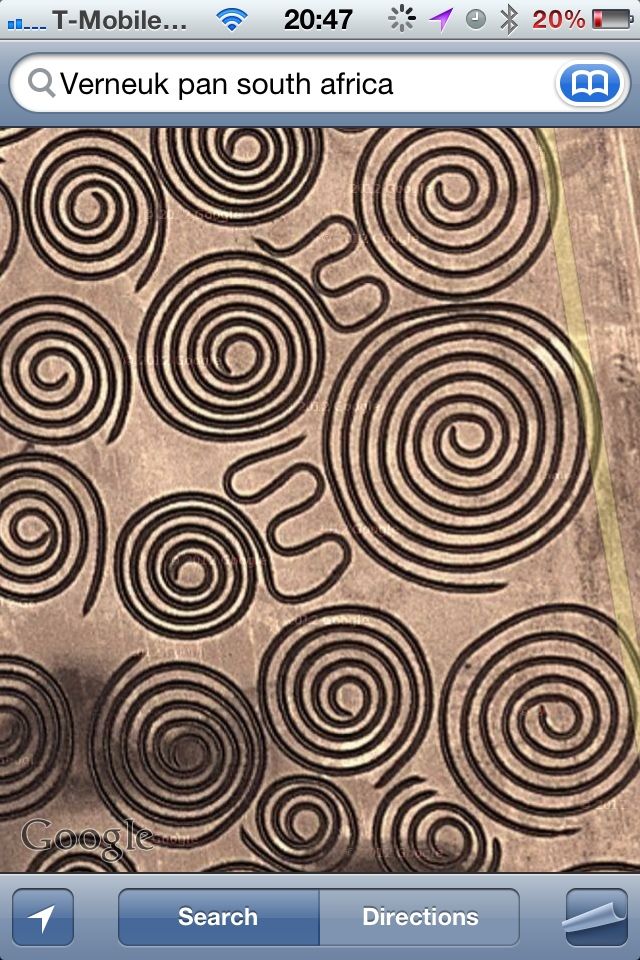
The spirals are about 60 metres across, the smaller ones about 20m. Also apart from the triangle, there are some older looking straight line marks all over.
The yellow line thru the triangle shape is the only "road" that traverses the pan, so I would guess that this is some form of grading or preparation work for making a hard standing, maybe for the record attempt base camp.
This is a map of the pan with the proposed track - its a smiggin under 12 miles

Thanks Mike.
The Bloodhound SSC team offered me work helping to clear the stones from the pan. If only I was rich, single, and maybe hopeful of them also using my aircraft engineering background......
Tony
Is Richard Hammond going to test drive it?
I don't know about Hammond, but my name will be on the fin for the runs:

The wife's name will be there too ![]()
Tony
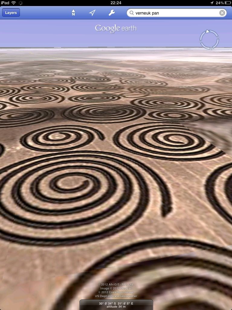
I'll tell ya what.... A few strong beers, Moby playing, and using the auto tilt on Google Earth for iPad has spooked me out:
Tony
Here ya go Tony, a real photo.
None the wiser what the're for tho'
This would be one for Reg Presley of the Troggs to get his teeth into if he was not so ill.
He would love this.
Stu
Hi, I'm new here - just joined to look for some info on my ancient Naim knock-off amp and pre-amp - so it's probably not very cool to do so, but for the sake of clarity I just have to add a tiny... errr, point of correction: The Bloodhound won't be going to Verneuk Pan, but to Hakskeen Pan. Check here: http://www.bloodhoundssc.com/p...e-track/hakskeen-pan. We wouldn't want Naim owners to turn up at the wrong venue, now would we!
Wow - "Mrs Tony Robin Lockhart"?
